Pak Nam Pran – Prachuap Khiri Khan Mountain Bike Trail
Download GPS file here – (Zipfile contains .gpx format)
Status: OPEN
Length: 13.2km
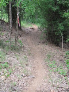
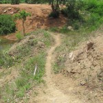
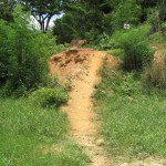
Configuration: Semi loop. Technical singletrack with lots of climbing. Start point to dirt bypass road where the singletrack portion of the race ended. The rest of the race was on paved or dirt doubletrack roads leading back to Pak Nam Pran.
Start point: Main road in Pak Nam Pran, just in front of school.
End point: Dirt bypass road that leads back to Pak Nam Pran area.
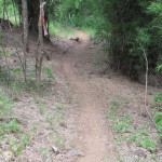
Notes: August 5th, 2012 Pak Nam Pran Mountain Bike Cup was held here. This GPS track is of the Blue course (longest and most difficult) trail. You may still see red/white marking tape or Red, Blue, Black, and Yellow arrows along the trail. Red and Blue courses were the most difficult and challenging while the Black and Yellow were shorter with very few technical drops or climbs.


Leave a Reply