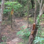
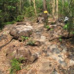
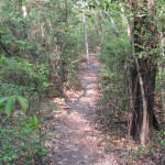
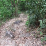
Khao Ito Mountain Bike Trails
Download GPS file here – (Zipfile contains .gpx and .gdb file formats)
Status: OPEN
Length: 11.3km
Configuration: Loop. 5% pavement – 95% dirt
Start/End point: Main parking lot near restaurant
Notes: Areas of trail with heavy tree canopy can be quite slick after rain. Medium climbs, rock sections, technical singletrack. Trail has 80% tree canopy coverage.
Download GPS file here – (Zipfile contains .gpx and .gdb file formats)
Status: OPEN
Length: 7.1km
Configuration: Loop. 15% pavement – 85% dirt
Start/End point: Main parking lot near restaurant
Notes: Trail is overgrown at times. Some heavy brush. Short climbs, rocky technical section, 50% singletrack – 50% doubletrack. Trail has 60% tree canopy coverage. Nice views of Khao Yai.
Download GPS file here – (Zipfile contains .gpx and .gdb file formats)
Status: OPEN
Length: 2.5km
Configuration: Loop. 25% pavement – 75% dirt
Start/End point: Main parking lot near restaurant
Notes: Short and fast trail with plenty of switchbacks. Singletrack for first half and doubletrack for second half.
Download GPS file here – (Zipfile contains .gpx and .gdb file formats)
Status: OPEN
Length: 4.4km
Configuration: One-way. 100% pavement up to the trailhead – 100% dirt on the trail
Start/End point: Starts at top of paved mountain road, ends at main parking lot near restaurant
Notes: Fast and fun downhill suitable for hardtails. You can either drive or ride up the paved mountain road to where the trailhead starts.
Driving directions to Khao Ito from Bangkok – Approximately 150km
[Download GPS file of these driving directions here – Zipfile contains .gpx and .gdb file formats]Take the Outer Ring Road (Route 9) going towards Bang-Pa In (photo 1).
Take Route 305 exit to Nakhon Nayok (photo 2).
Take Route 305 all of the way to Nakhon Nayok (photo 3).
Once in Nakhon Nayok go through 2 traffic lights and turn RIGHT at the 3rd traffic light towards Prachinburi (photo 4).
Route 33 will narrow to a single lane after traffic light. Zero your odometer.
Approximately 6.5kms after the road narrows you will get to a round-a-bout. Go straight. Zero your odometer.
Turn LEFT approximately 2.6kms after the round-a-bout into Khao Ito (photo 5).
Enter the park grounds, turn right at the first T-intersection, and drive towards the restaurant keeping the reservoir on your left side.
Park in front of the restaurant (photo 6). Trail A, B, and C can all be ridden from this starting point.
Trailhead facilities: Bathroom, restaurant, parking area
Fee: A small donation to Ajarn Nippon is greatly appreciated


Hi , does anyone know if the trails at Khao Ito still open and rideable ?
Thanks