Doi Inthanon Climb – Chiang Mai Road Ride
Route: Climbing to the Highest Point in Thailand
Length: 47.78km
Elevation gain: 2,339 meters
Elevation loss: 114 meters
Minimum elevation: 277 meters
Maximum elevation: 2,506 meters
Configuration: Point to Point. Bottom to Top.
Start point: Wat Phra That Si Chom Thong (Near intersection of Highway 108 and Tha Sala Road in Chom Thong, Chiang Mai province).
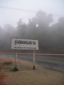
End point: Top of Doi Inthanon (The Highest Spot in Thailand).
Notes: Compact gearing is recommended. Doi Inthanon is actually a national park and as such there is an entrance fee, to be paid at the main gate near the base of the climb. This route is on all paved roads.


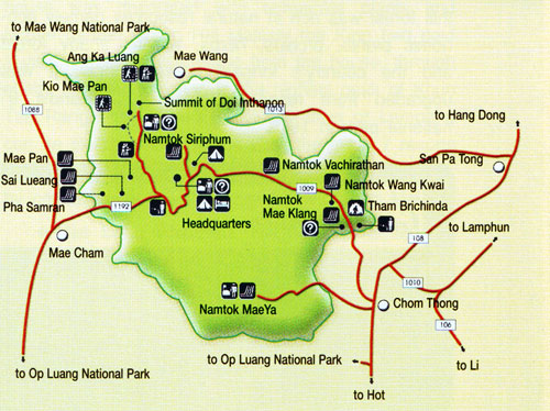
Is it possible to go from Mae Wang? I am now reading the information on this page – https://catmotors.net/routes/doi-inthanon-national-park/ but I can not find anything about a detour from the other side.